![]()

![]()
![]()
![]()
![]()
![]()
- Map Viewer
- This a a quick preview of the 3D Graphical Map Viewer
-
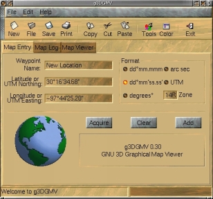
- The above is a view of the opening page . This page can be use by the user to enter their own position information. By clicking on the radio buttons the entered format is changed automatically.
-
-
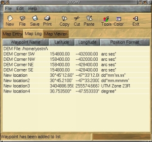
- This is the data base page showing DLG node position information. The positions are shown in UTM format. The information can b edit by the user.
-
-
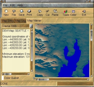
- The above shows a text field giving information extracted from a DEM file along with its generated terrain map.
-
-

-
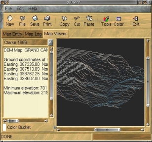
- Other terrain maps generated from DEM files using g3DGMV.
-
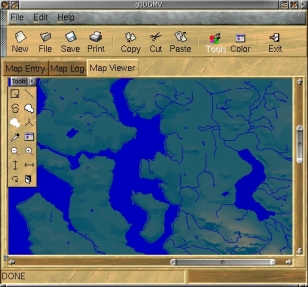
- The above shows a terrain map generated from a DEM file along with DLG information for lakes & rivers over laying it. Note the popup toolbar in the left hand corner.
-
-
-
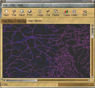
The above shows a DLG map with roads, rivers and lakes.
- Do you have any comments about this site? Please drop us a line at yostn2000@yahoo.com
-